


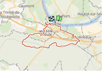

11 km | 12,2 km-effort

Gebruiker


Gratisgps-wandelapplicatie
 SityTrail
IGN / Geografische instituten
SityTrail World
De wereld gaat voor u open
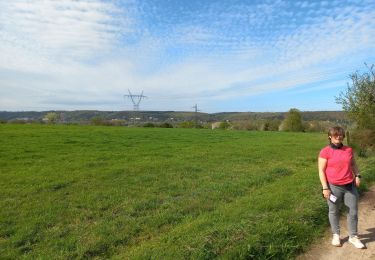
Tocht Stappen van 14,9 km beschikbaar op Normandië, Seine-Maritime, La Bouille. Deze tocht wordt voorgesteld door MichelRando7656.
Côte difficile Albert Lambert au démarrage . Nombreuses petites routes-
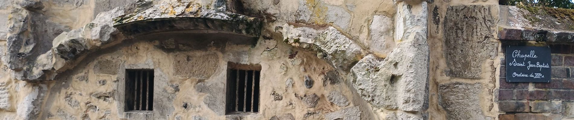
Passage au château Robert le Diable et retour par les marais.


Stappen
Stappen
Stappen

Stappen

Te voet

Stappen
Stappen

Stappen

Stappen